Hunt · Fish · Hike · Ride · Camp
WMU boundaries. Crown land. Fishing zones. Regulations. Trails — all on one offline-capable map. Live now for BC's backcountry, with more provinces coming next year.
Why CYA Outdoors
Built from the ground up for Canadian WMU systems, Crown land designations, and provincial regulations. Not a US app with Canada bolted on — every layer, season, and zone is native to how BC's backcountry actually works, with more provinces coming next year.
Replaces iHunter, AllTrails, Trailforks, onX Offroad, and Hipcamp — with shared offline maps, shared GPS waypoints, a shared track recorder, and group chat with live location built in. One account. One download. One map.
Download your province before you leave town. Hunt, fish, ride, and navigate with full maps in dead zones, on Forest Service roads, and deep in the bush — no cell service required, ever.
A hiker sees they're walking through WMU 5-15 during elk season. An off-roader sees Crown land status mid-ride. A camper sees which fishing zone their site is in. No other app connects the backcountry this way.
What are you chasing this season?
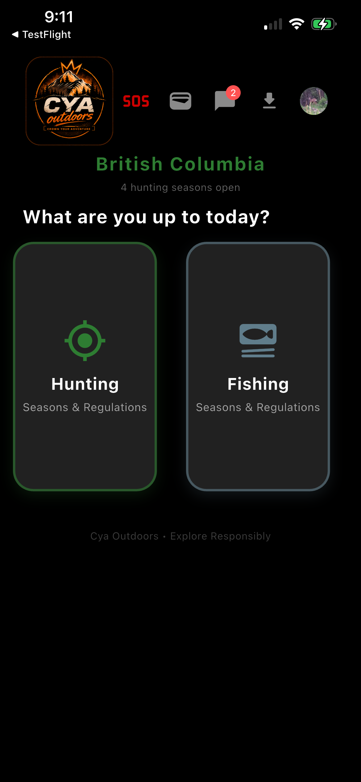
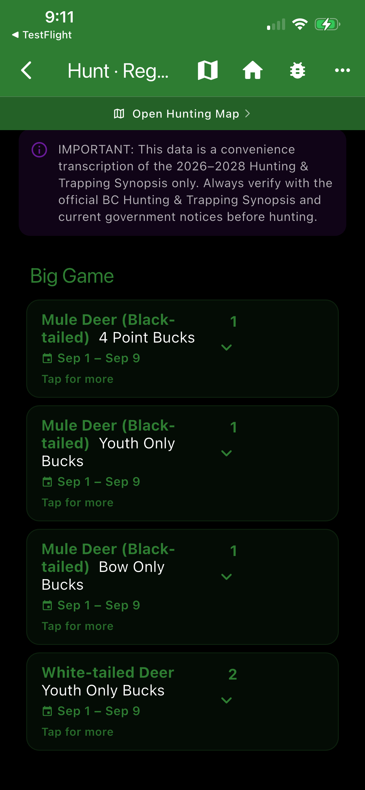
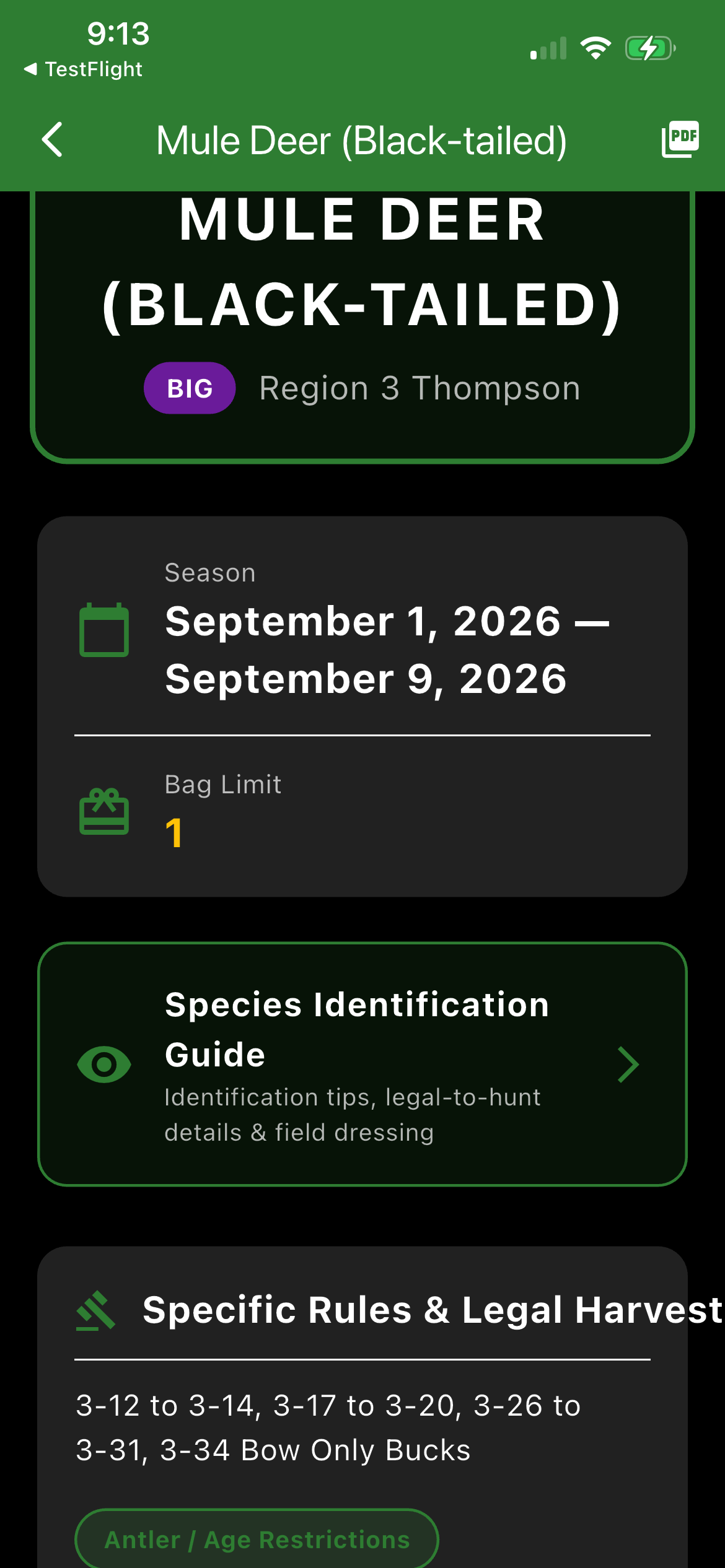
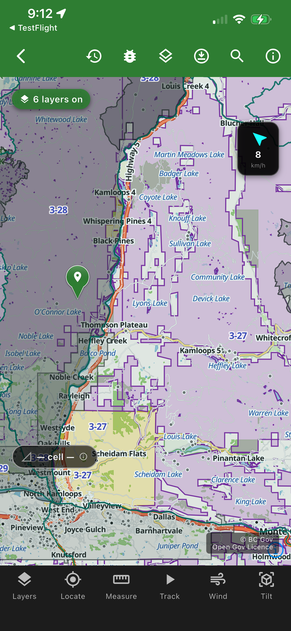
Full WMU boundary maps for BC — all 9 regions, colour-coded and GPS-detectable, with more provinces coming next year. Know your zone from the moment you open the app.
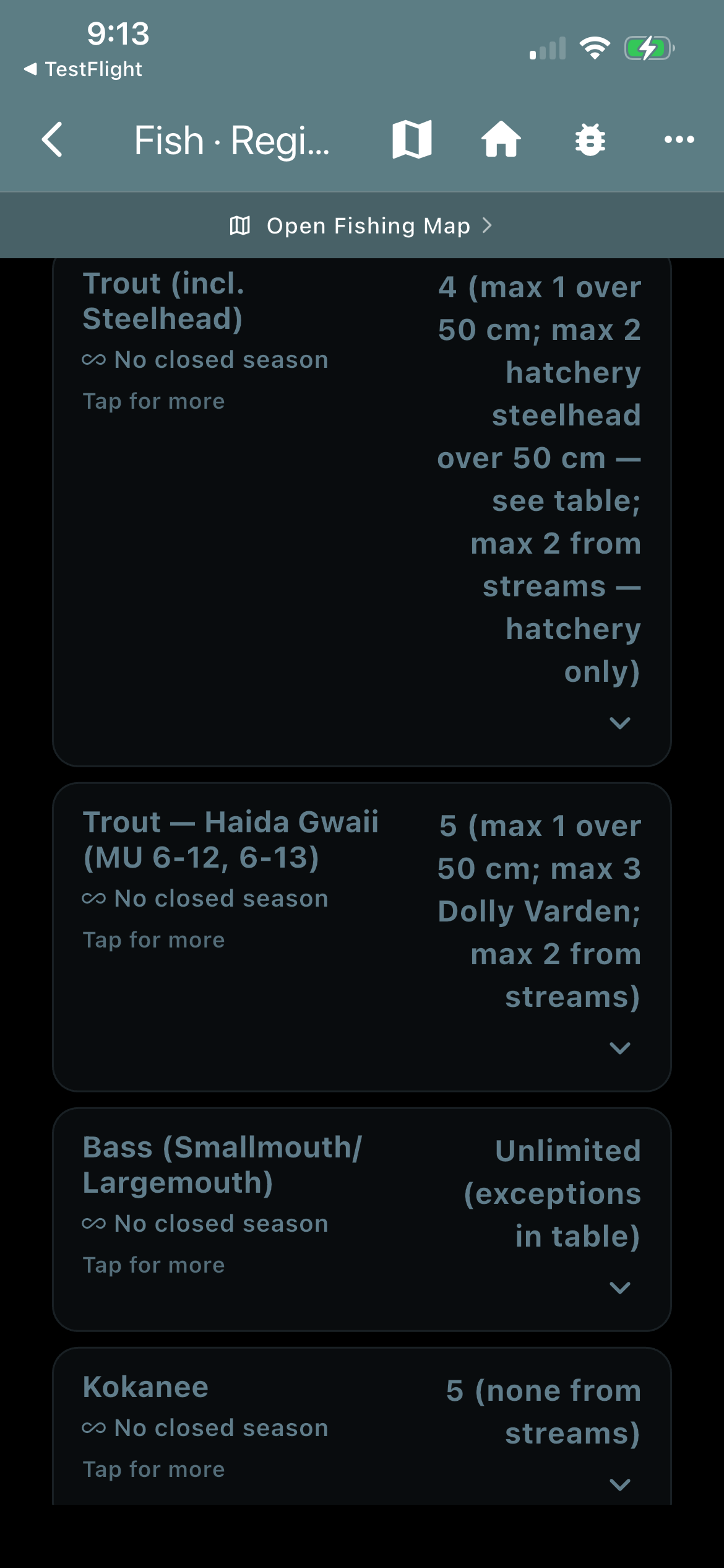
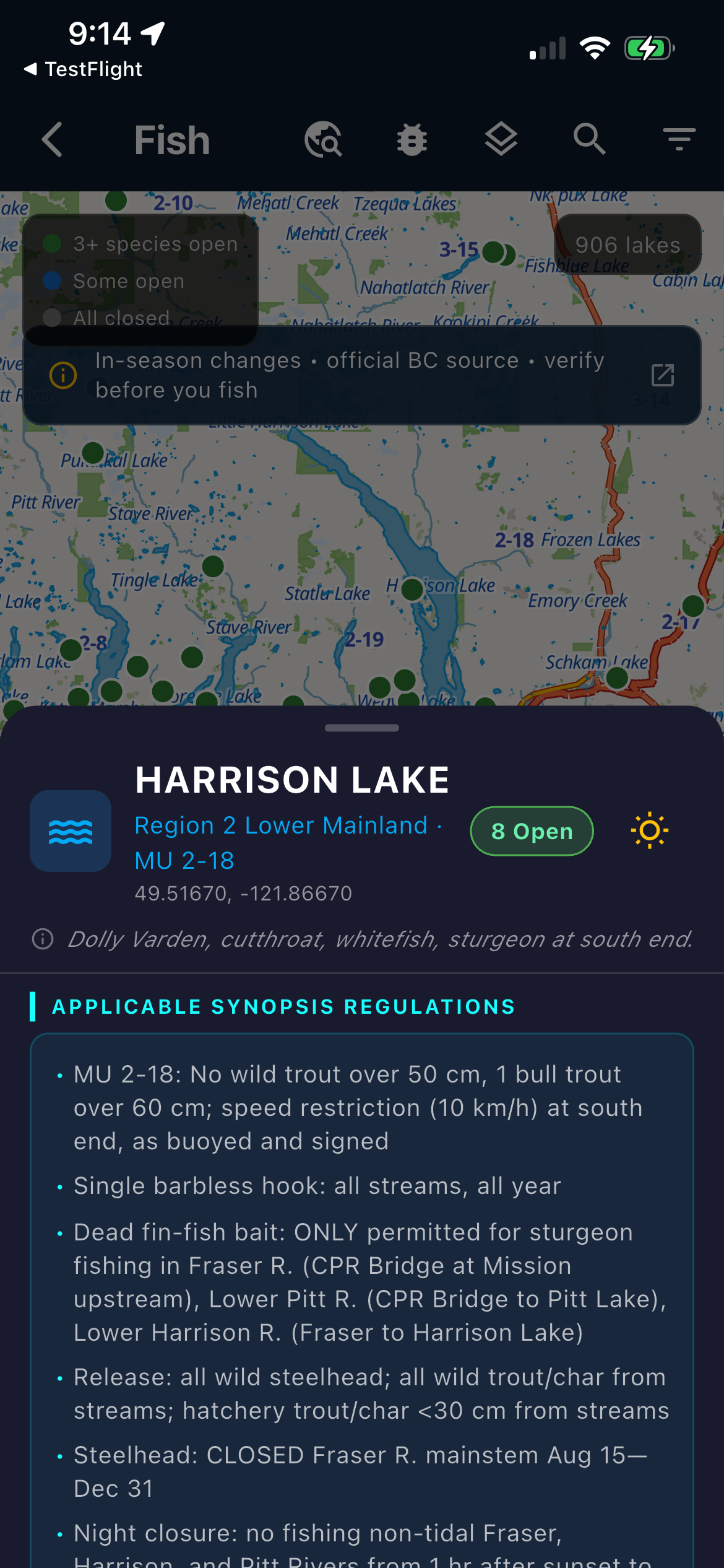
BC fishing zone boundaries on your offline map, with more provinces coming next year. Season dates, bag limits, and special restrictions — right where you're standing. The full provincial fishing synopsis, viewable in-app without data.
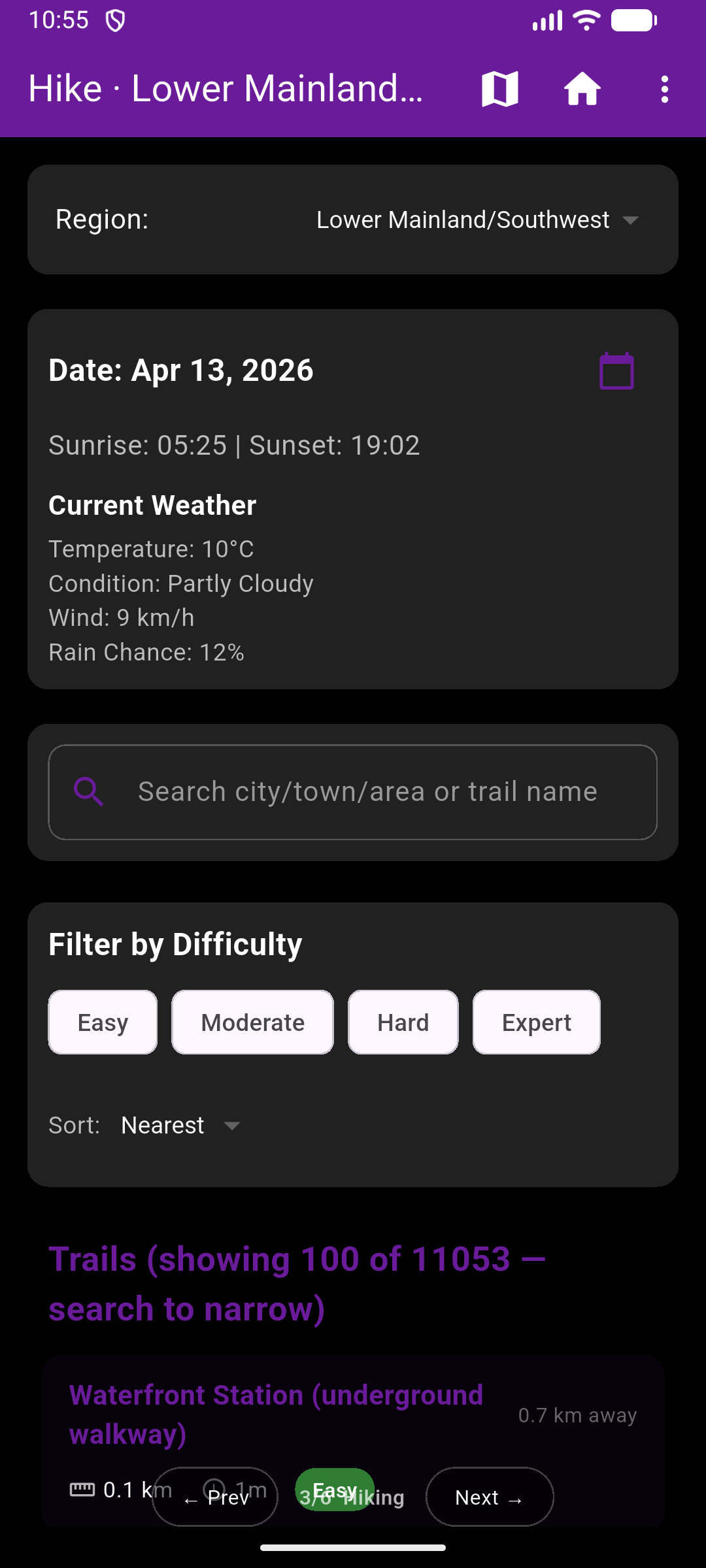
Trail search with difficulty, elevation gain, distance, and estimated time — from the Bow Valley to Chilcotin — on the same map showing your hunting zones and Crown land status.
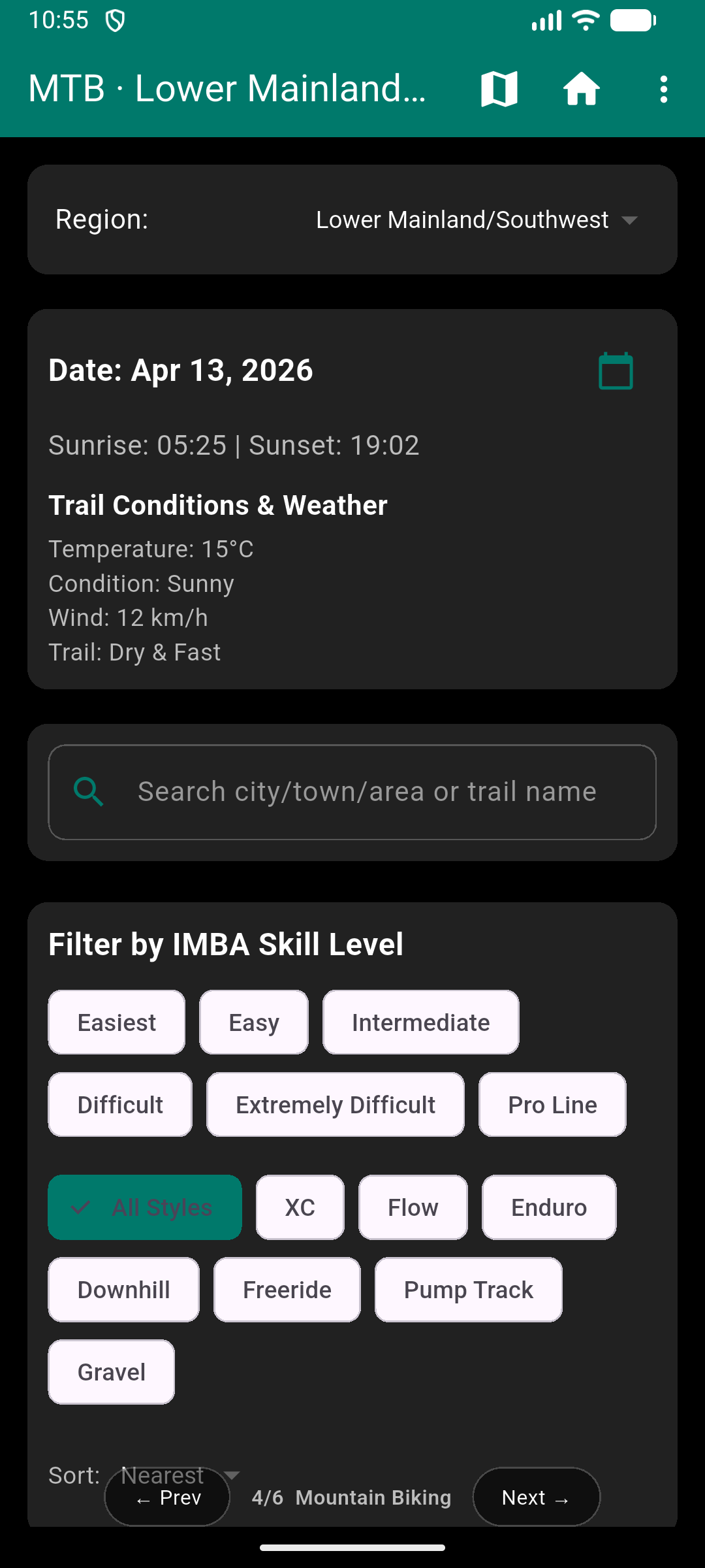
IMBA skill level classifications for every trail. Seven riding styles. Network badges for Whistler, North Shore, Squamish, Kananaskis, and beyond — rolling out after launch.
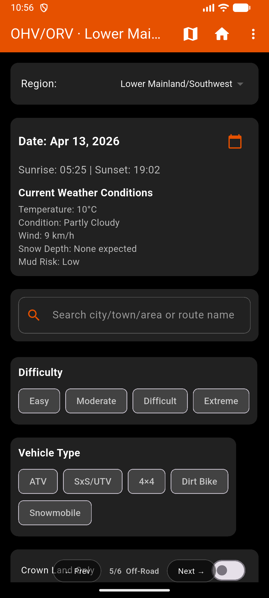
Vehicle type filters. Road and trail classifications. Crown land status on every map. WMU boundaries visible mid-ride — rolling out after launch.
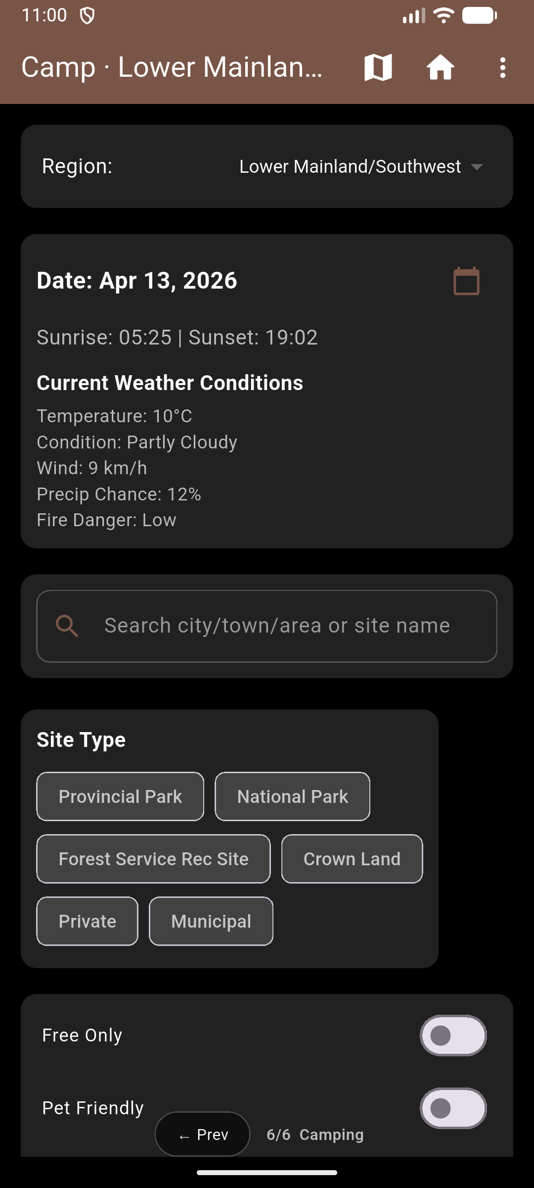
Provincial parks, national parks, Forest Service rec sites, Crown land, and private campgrounds — all on the same map as your trails, fishing zones, and off-road routes.
Beyond the map
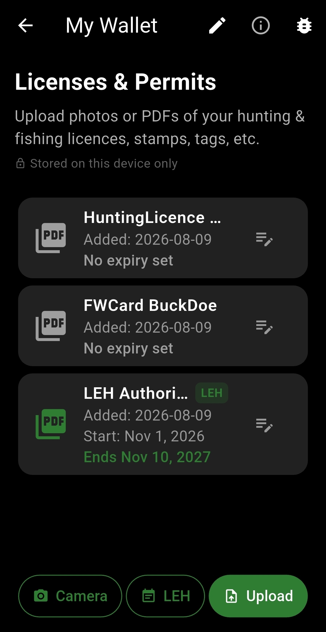
Log catches, trophies, and adventures with photos, notes, and GPS coordinates — your personal record of every trip.
Sunrise and sunset times, weather at any map point, and custom waypoint packs you can share with your crew.
Send your GPS location to emergency contacts at regular intervals, even in the background. For deeper buddy tracking, see Cya Later below.
Stay connected out there
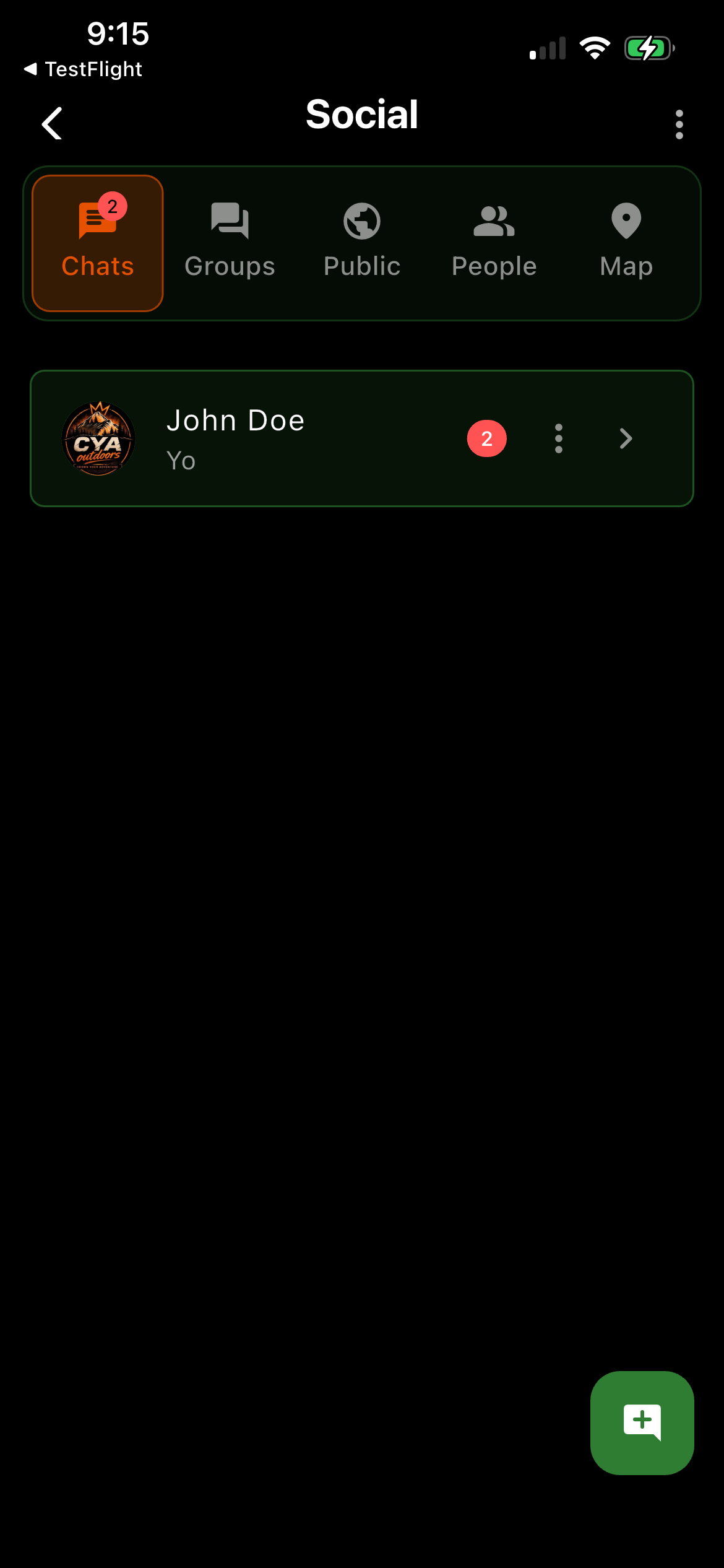
No other Canadian outdoor app builds a real social layer into the map itself. Add your hunting party, riding crew, or camping group and coordinate without switching apps.
Add friends from your contacts or by invite code. Build a group for each trip, crew, or hunting party.
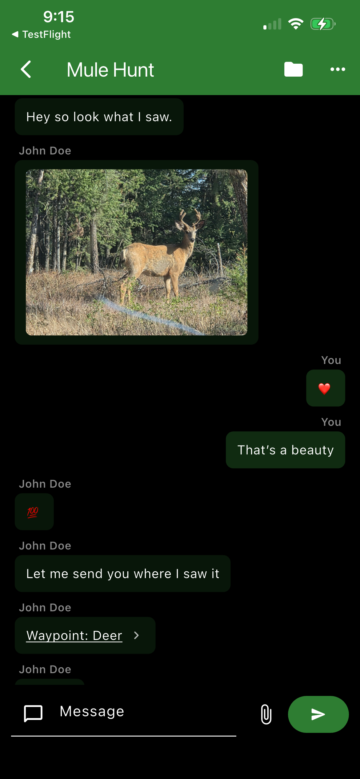
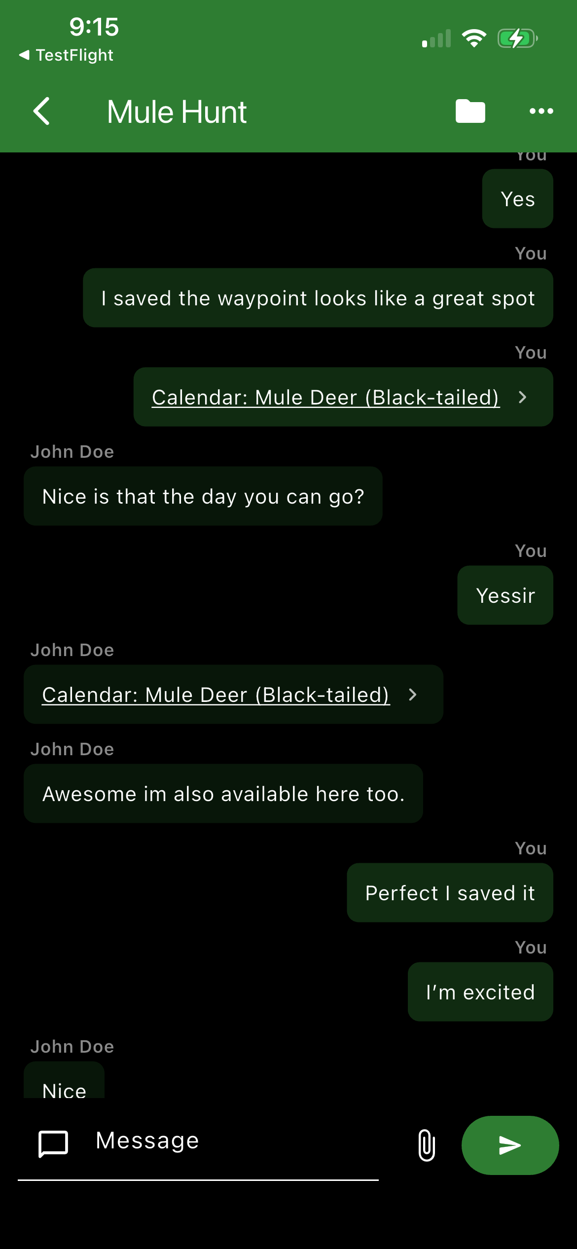
Real-time messaging with your group, right inside the app — plan the trip and stay in touch once you're out there.
See your group's live position on the same map as your trails, zones, and Crown land — know where everyone is without a text.
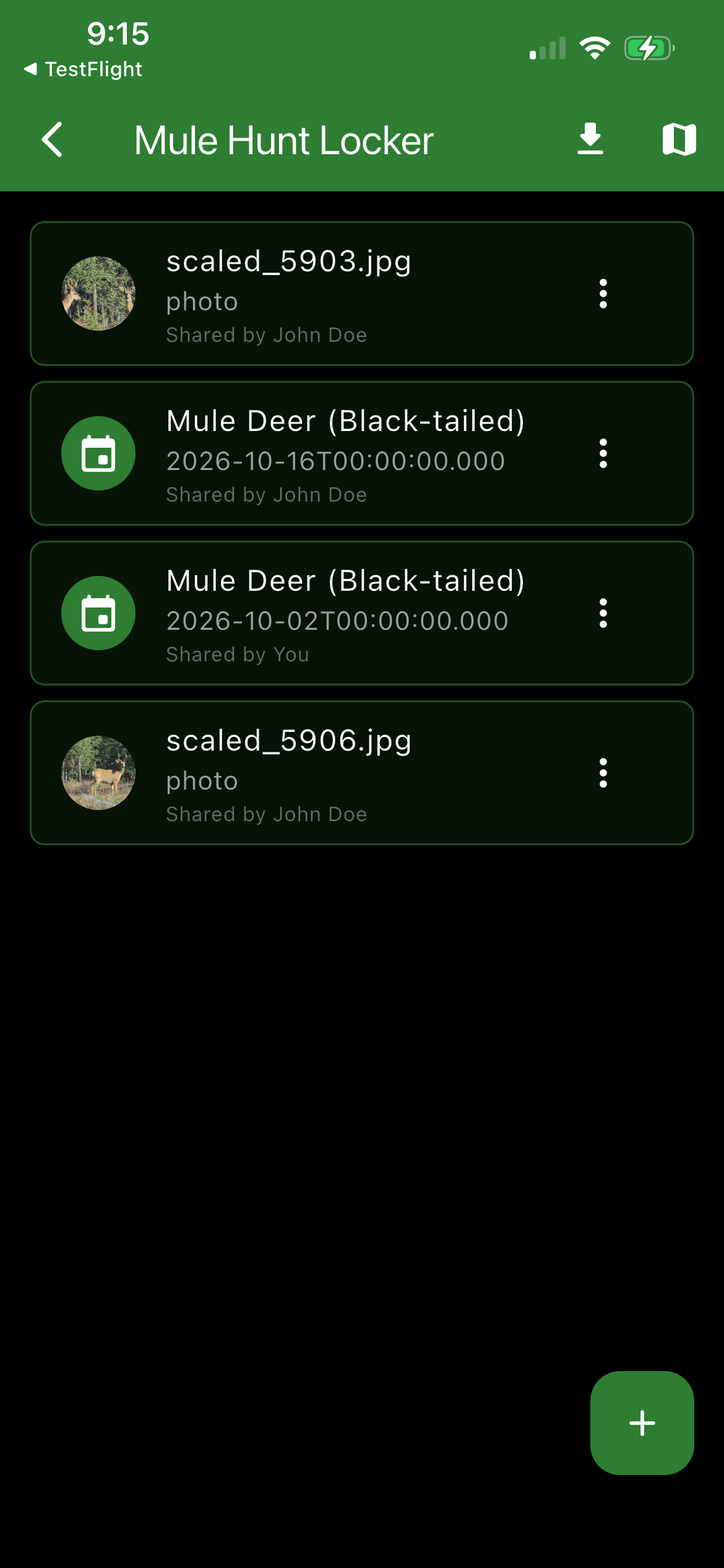
A shared space for your group's trip — photos, notes, and files everyone can access, tied to that trip.
Map Layer Library
Public land overlay showing Crown land status province-wide.
Grazing licenses and range tenure boundaries on Crown land.
Active Crown tenure agreements and lease boundaries.
Private property boundaries; detailed parcel map at zoom.
Limited Entry Hunting zone overlays.
Indian reserves and Métis settlement boundaries.
Protected Areas Network and provincial park extents.
Parks Canada federal park boundaries and buffer zones.
Active mineral claims and tenure areas.
Fishing-specific lake pins and zone overlays.
Topographic contour lines for terrain awareness.
Shaded relief layer for visualizing terrain elevation.
Honest comparison
| Feature | CYA Outdoors | iHunter | onX Hunt | AllTrails | Trailforks | Hipcamp |
|---|---|---|---|---|---|---|
| WMU boundaries | ✓ | ✓ | US only | — | — | — |
| Hunting regulations in-app | ✓ Offline PDF | ✓ | — | — | — | — |
| Fishing zones | ✓ | — | — | — | — | — |
| Fishing regulations in-app | ✓ Offline PDF | — | — | — | — | — |
| Hiking trails | ✓ | — | — | ✓ | — | — |
| Mountain biking trails | Coming soon | — | — | — | ✓ | — |
| Off-road / ORV routes | Coming soon | — | Separate app | — | — | — |
| Campsite listings | ✓ | — | — | — | — | ✓ |
| Crown land overlay | ✓ Full | Basic | Paid | — | — | — |
| Group chat + live location | ✓ | ✓ | — | — | — | — |
| Offline maps — no paywall | ✓ | ✓ | Paid only | Paid only | Paid only | — |
| GPS track + waypoints | ✓ | ✓ | ✓ | Paid | ✓ | — |
| Canadian-first data | ✓ | ✓ | US-first | Global | Global | Mixed |
| Annual cost | Free / $15.99 yr | $30–50 / province | $35–100 / yr | $35.99 / yr | $89.99 / yr | Free |
Cya Later — Backcountry Safety Companion
Cya Outdoors already ships with a built-in SOS Beacon — it sends your GPS location to emergency contacts at set intervals, even in the background. Cya Later takes that further with a full buddy network, invite codes, and live tracking.
Expected launch: Q4 2026 – Q1 2027
CYA Later.
Alert your buddies. Stay safe out there.
Standalone emergency beacon companion.
Uses the same account as CYA Outdoors.
Pricing
Pick the activities you care about. Download offline. Head out. That's it.
CYA Rewards
Expected launch: Q4 2026 – Q1 2027
A points-based rewards program built into the app. Log trips, share routes, and contribute to the community to earn points you can redeem in the store.
Get in touch
British Columbia, Canada
Live in BC now.
More provinces — coming next year