Every activity.One map.
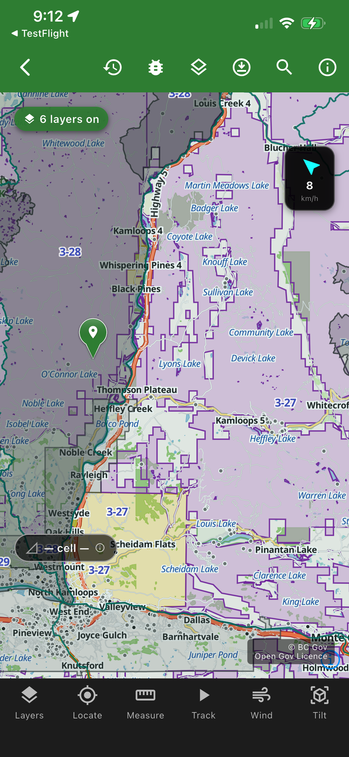
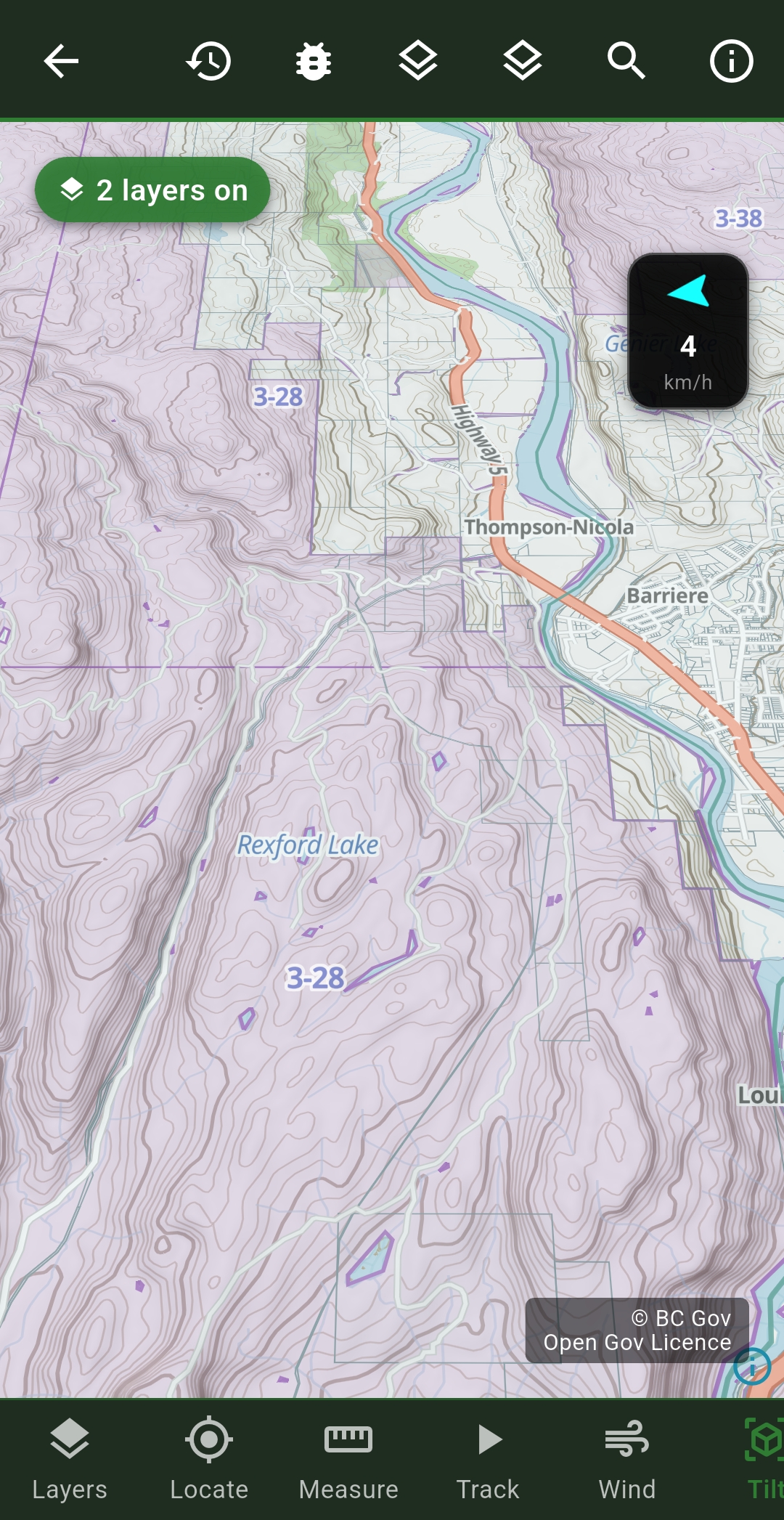
Full WMU boundary maps for BC — all 9 regions, colour-coded and GPS-detectable, with more provinces coming next year. Know your zone from the moment you open the app.
Hunting
Full WMU boundary maps for BC — all 9 regions, colour-coded and GPS-detectable, with more provinces coming next year. Know your zone from the moment you open the app.
- BC regions 1–8: WMU boundaries, GPS-detected
- Crown land, Range Tenure, Crown Tenures & Private Land overlays
- LEH (Limited Entry Hunting) zone layer
- First Nations Reserve and Mineral Claims layers
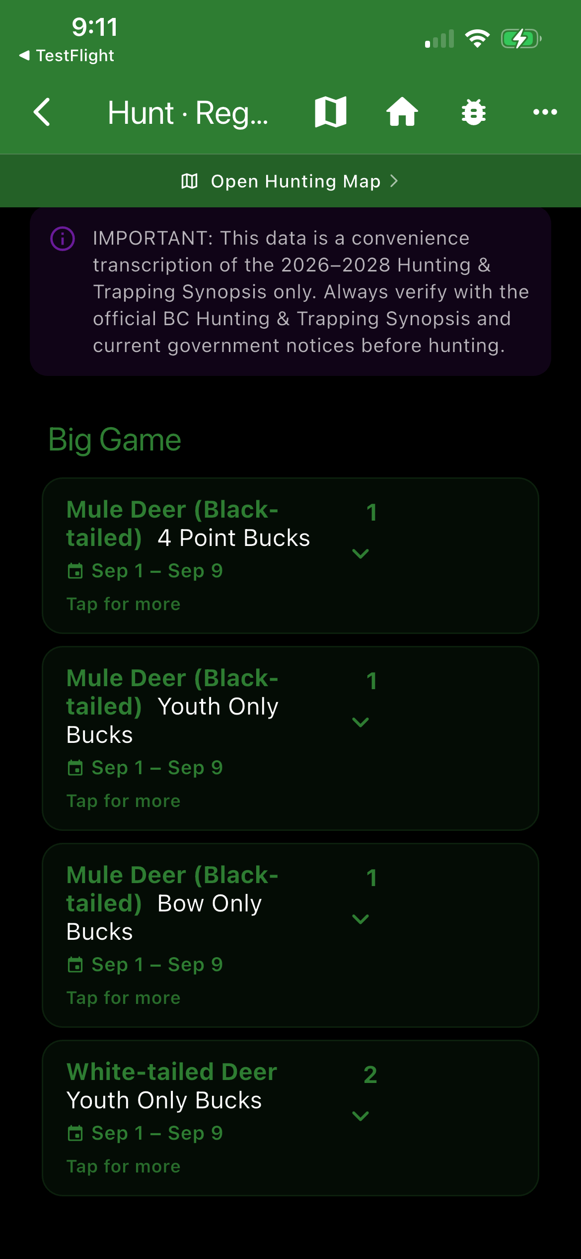
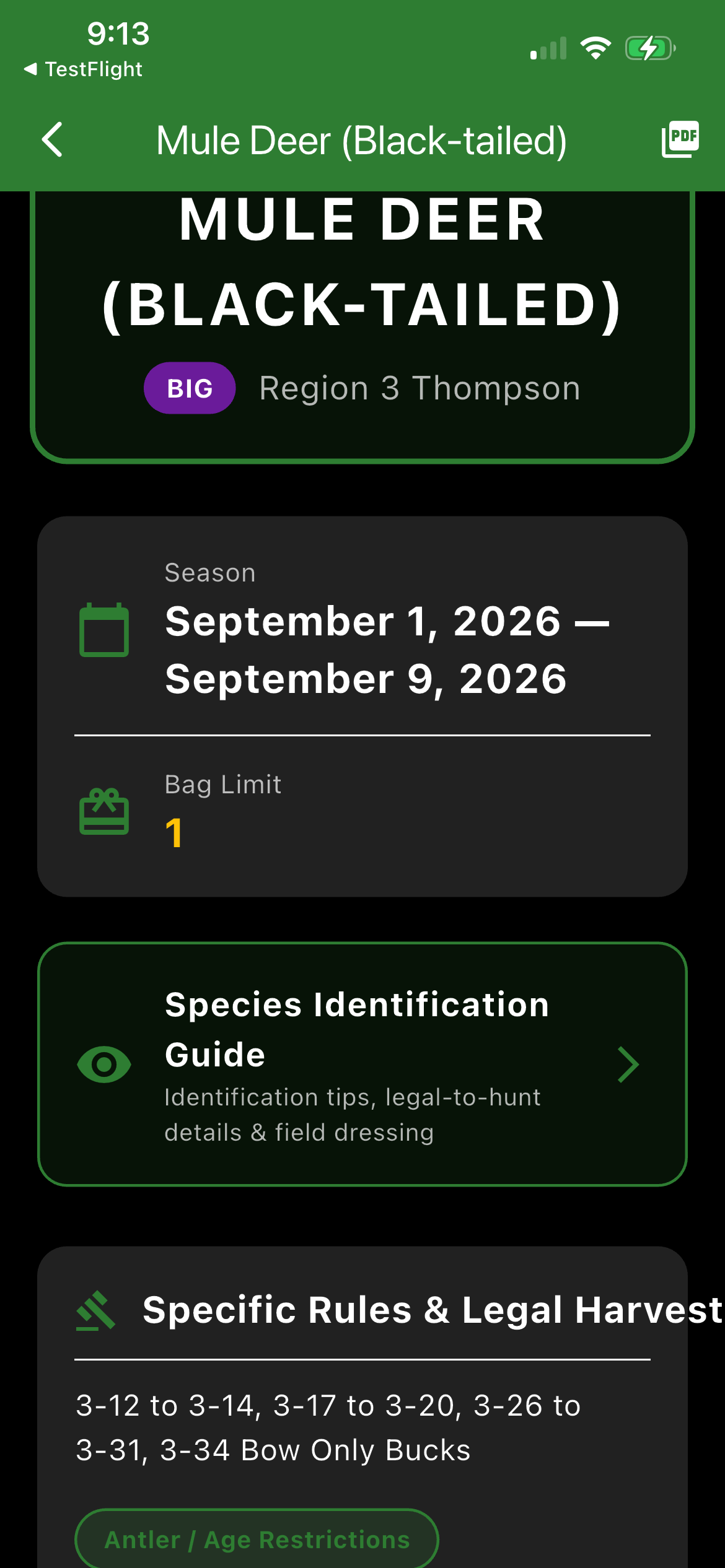
- Season calendar by region — big game, small game, migratory birds
- Hunting regulations PDF viewer bundled in-app — no internet needed
- Species identification — big game, small game, birds
- Sunrise, sunset & legal shoot-time calculator (GPS-based)
- Game Movement Forecast — species-specific activity score for your position Beta
- Licence wallet — photo, scan via OCR, expiry tracking
- GPS track recording with full history
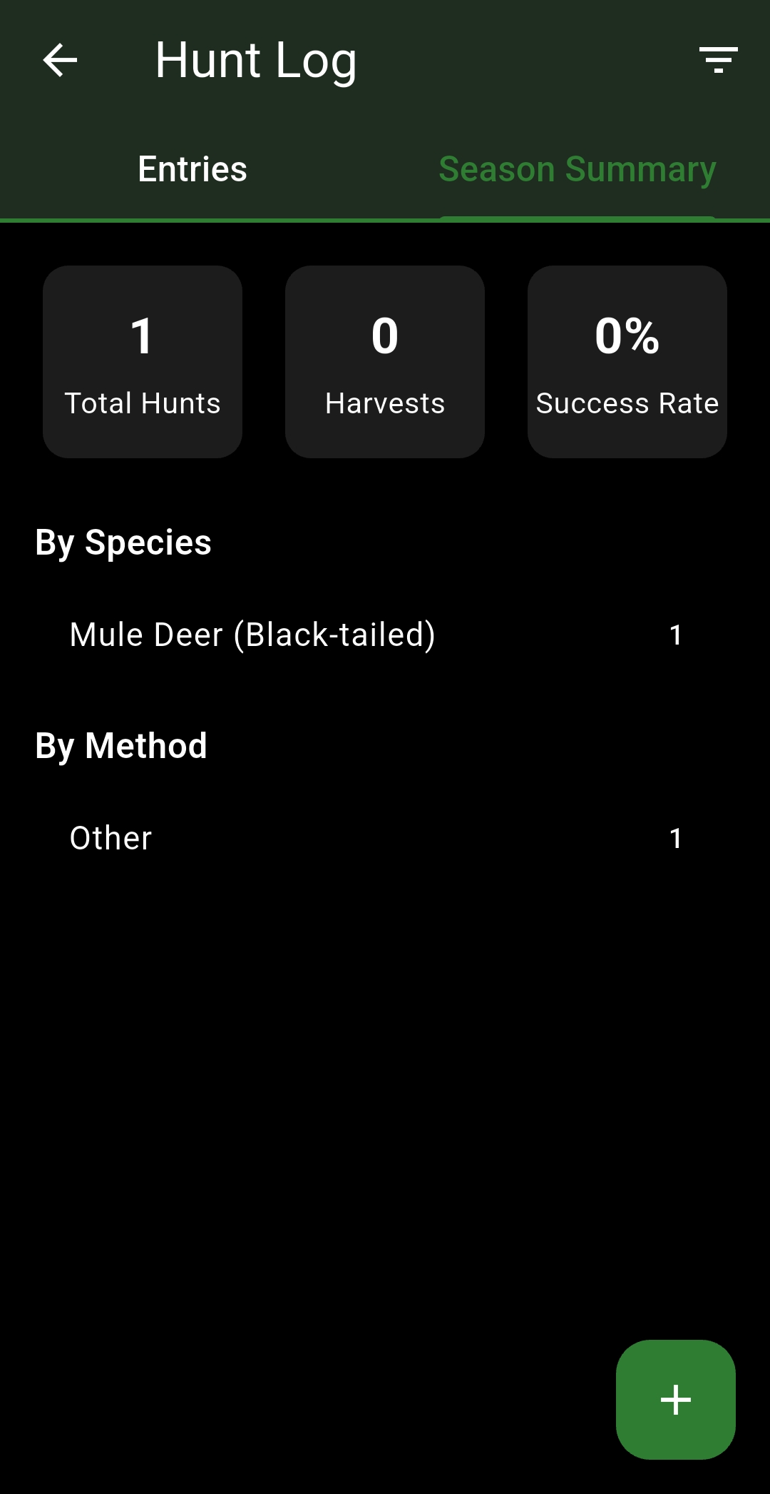
- Hunt Log — record trips with photos, notes and GPS coordinates
Fishing
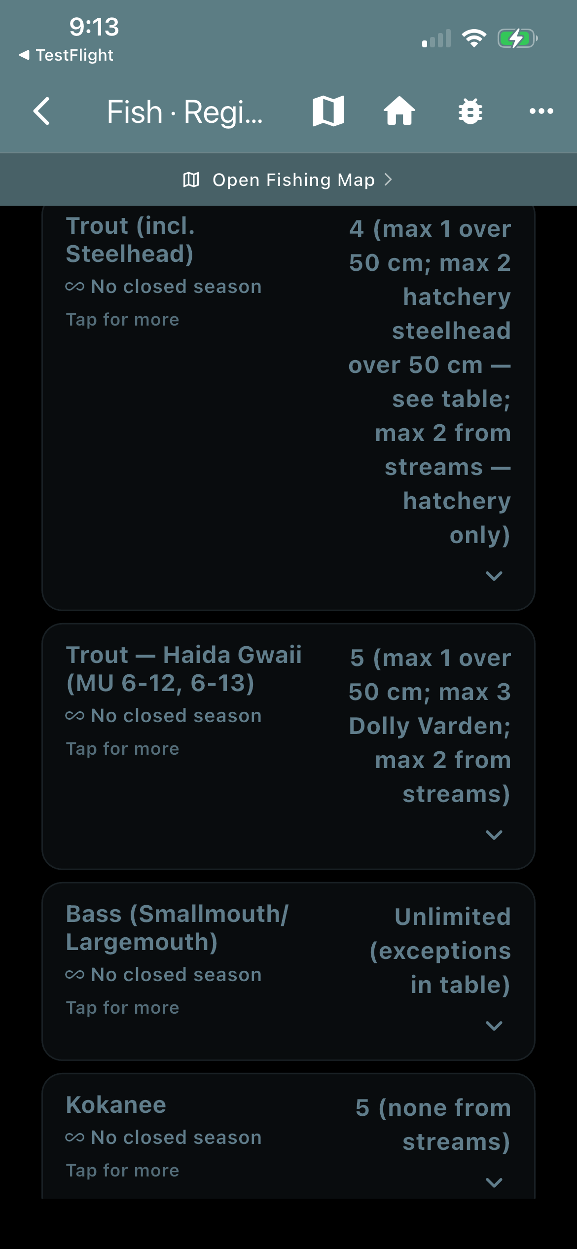
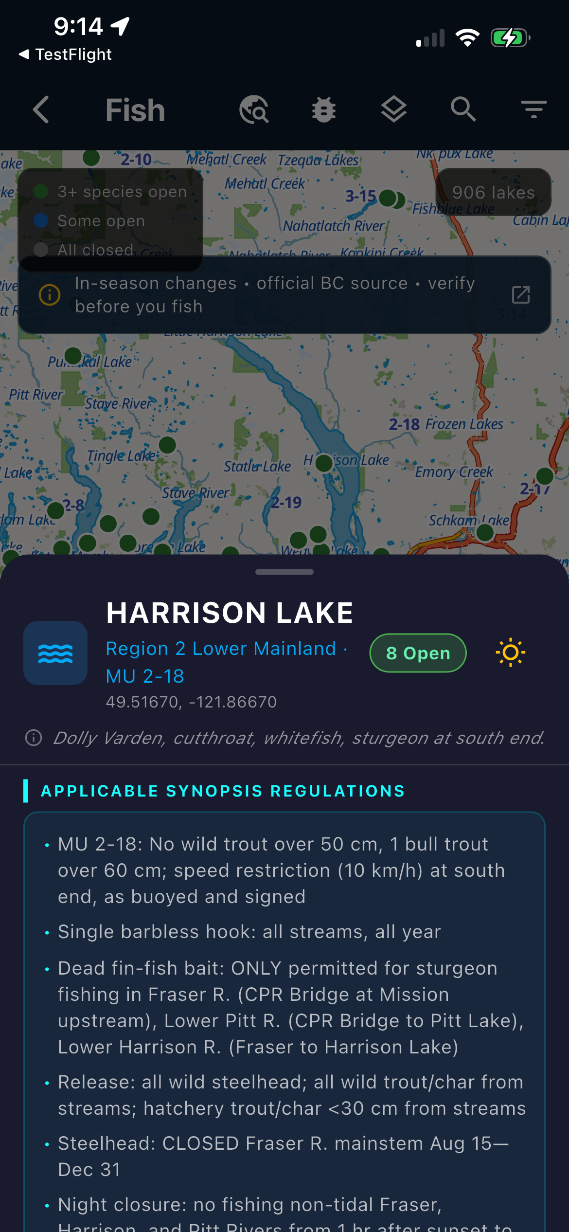
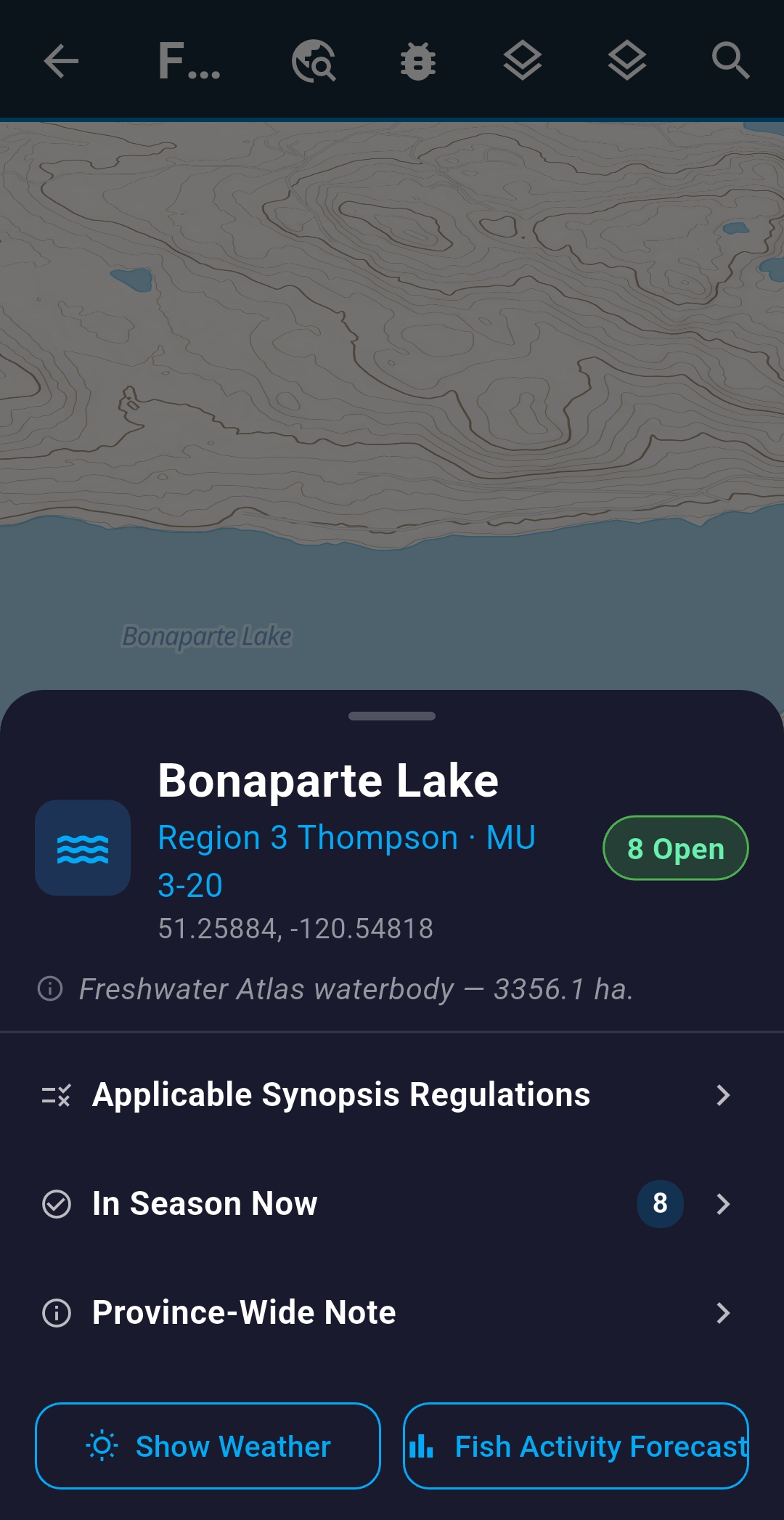
BC fishing zone boundaries on your offline map, with more provinces coming next year. Season dates, bag limits, and special restrictions — right where you're standing. The full provincial fishing synopsis, viewable in-app without data.
- BC fishing zone overlays, GPS-detected
- Season dates, bag limits & gear restrictions per zone
- Fishing regulations PDF viewer bundled — works offline
- Fishing lake pins on map with per–water-body rules at a tap
- Fish species identification — legal sizes, photos, and notes
- Sunrise/sunset & daylight hours shown in-app
- Fish Activity Forecast — species-group activity score per lake Beta
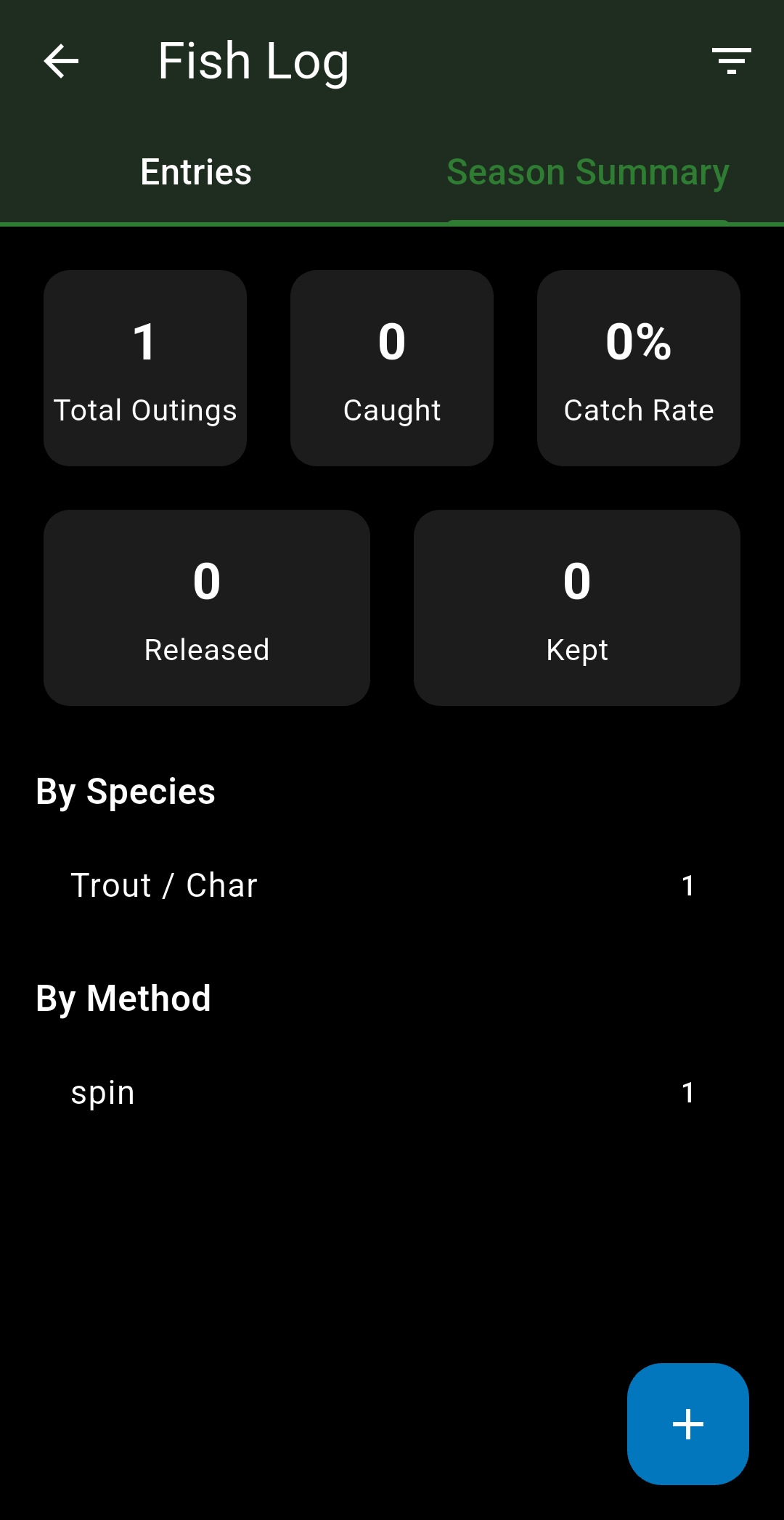
- Fish Log — record catches with photos, notes and GPS coordinates
Hiking Coming soon
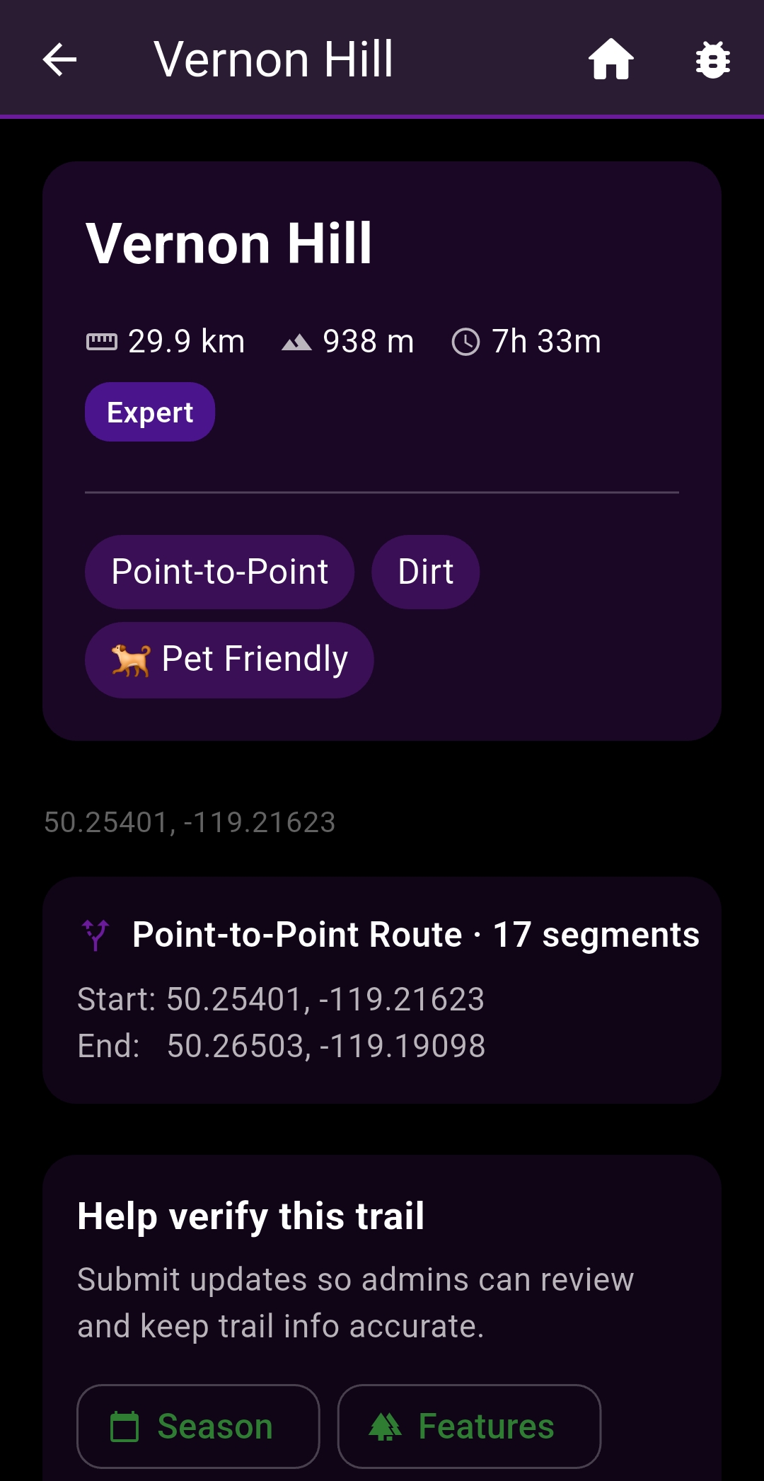
Trail search with difficulty, elevation gain, distance, and estimated time — from the Bow Valley to Chilcotin — on the same map showing your hunting zones and Crown land status.
- Difficulty ratings from Easy through Expert
- Trail types: Loop, Out-and-Back, Point-to-Point
- Elevation profile charts for every trail
- Feature tags: pet-friendly, wheelchair accessible, permit required
- GPX track export for external GPS devices
- Turn-by-turn navigation launch from trailhead
- Crown land and WMU status visible on the same map
Mountain Biking Coming soon
IMBA skill level classifications for every trail. Seven riding styles. Network badges for Whistler, North Shore, Squamish, Kananaskis, and beyond — rolling out after launch.
- IMBA skill levels: White · Green · Blue · Black · Double Black · Pro Line
- Styles: XC, Flow, Enduro, Downhill, Freeride, Pump Track, Gravel
- E-bike compatibility filter
- Direction: one-way, bidirectional, or context-dependent
- Distance, elevation gain, and surface type for every listing
- Crown land overlay visible while you ride
Off-Roading Coming soon
Vehicle type filters. Road and trail classifications. Crown land status on every map. WMU boundaries visible mid-ride — rolling out after launch.
- Vehicle filter: ATV · SxS/UTV · 4×4 · Dirt Bike · Snowmobile
- Road types: FSR, ORV Trail, Quad Trail, Logging Road, and more
- Difficulty from Easy to Extreme
- Crown land designation and access status layered on map
- WMU boundaries overlaid on every off-road route
- Offline-first: all route data downloaded, no cell needed
Camping
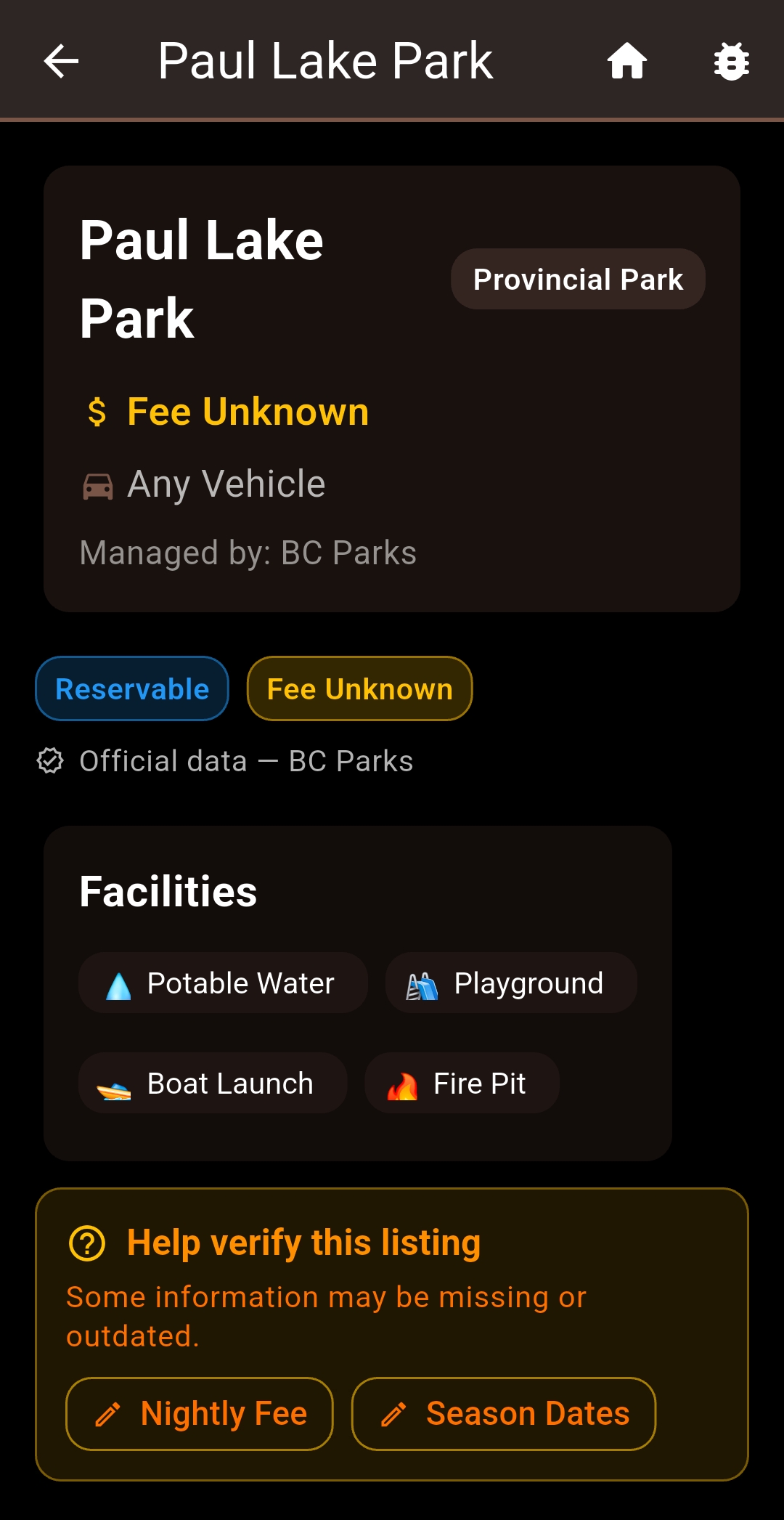
Provincial parks, national parks, Forest Service rec sites, Crown land, and private campgrounds — all on the same map as your trails, fishing zones, and off-road routes.
- Site types: Provincial · National · FSR Rec Sites · Crown Land · Private
- Facilities: toilets, showers, fire pits, electrical, boat launch, and more
- Vehicle access: Any · 2WD · 4WD · RV-Friendly · Tent-Only
- Filters: pet-friendly, free sites only, reservation-available
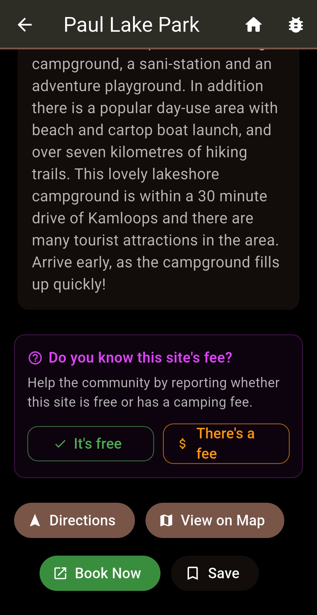
- Community fee verification — report what a site actually costs
- Booking links straight to the reservation system
- Nearby trails and fishing zones shown for every campsite