Every layer thatmatters out there.
A full offline basemap with every land-status layer stacked on top — plus the tools that turn a map into a trip: wallet, logs, geofences, and a growing set of community-verified spots.
Map Layer Library
Every layer that
matters out there.
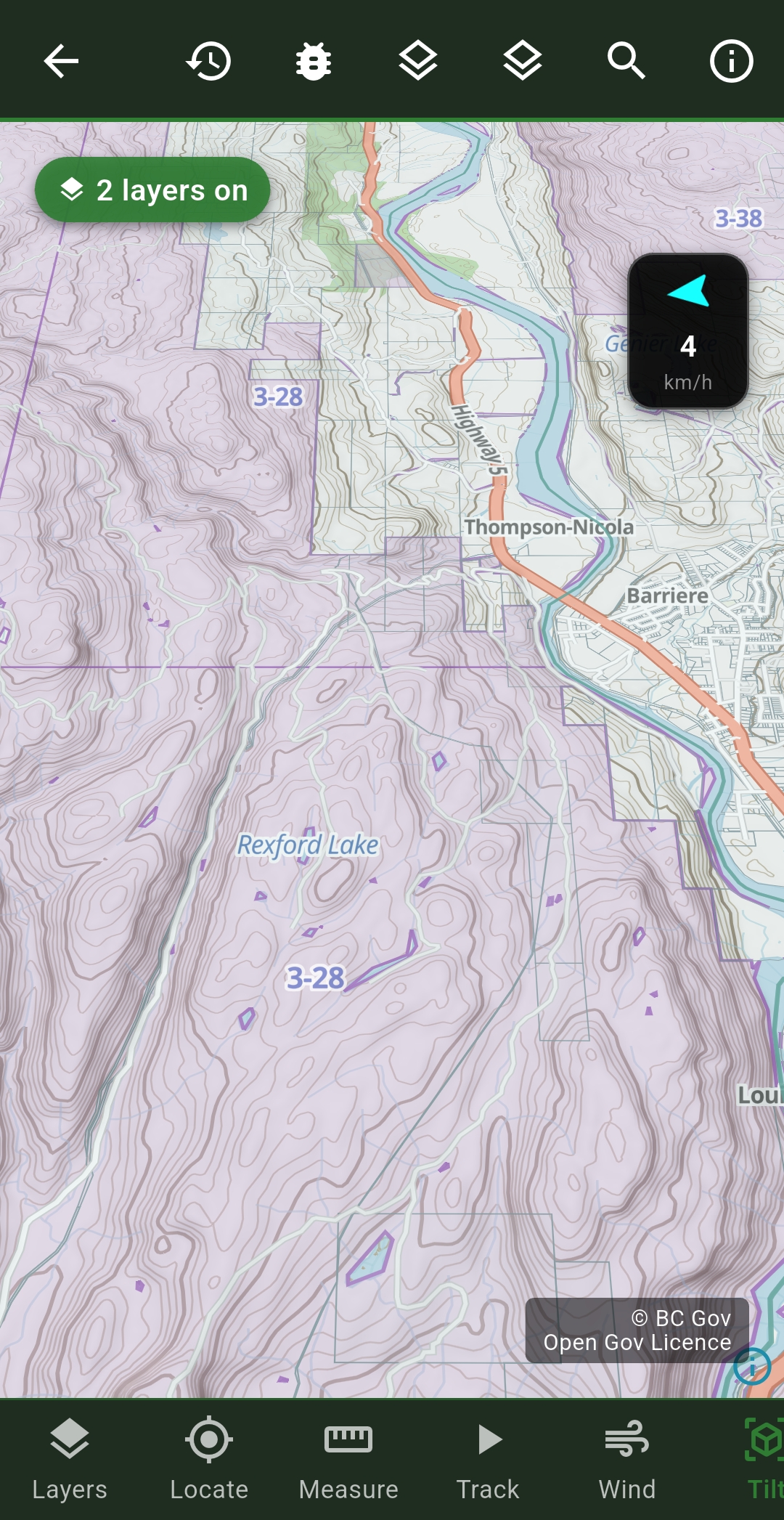
Provincial Crown Land
Public land overlay showing Crown land status province-wide.
Range Tenure
Grazing licenses and range tenure boundaries on Crown land.
Crown Tenures & Leases
Active Crown tenure agreements and lease boundaries.
Private Land / Parcels
Private property boundaries; detailed parcel map at zoom.
LEH Zones
Limited Entry Hunting zone overlays.
First Nations Reserves
Indian reserves and Métis settlement boundaries.
Provincial Parks
Protected Areas Network and provincial park extents.
National Parks
Parks Canada federal park boundaries and buffer zones.
Mineral Claims
Active mineral claims and tenure areas.
Fishing Lakes
Fishing-specific lake pins and zone overlays.
Contour Lines
Topographic contour lines for terrain awareness.
Hillshade
Shaded relief layer for visualizing terrain elevation.
Field intelligence Beta
Where the animals
and the fish are moving.
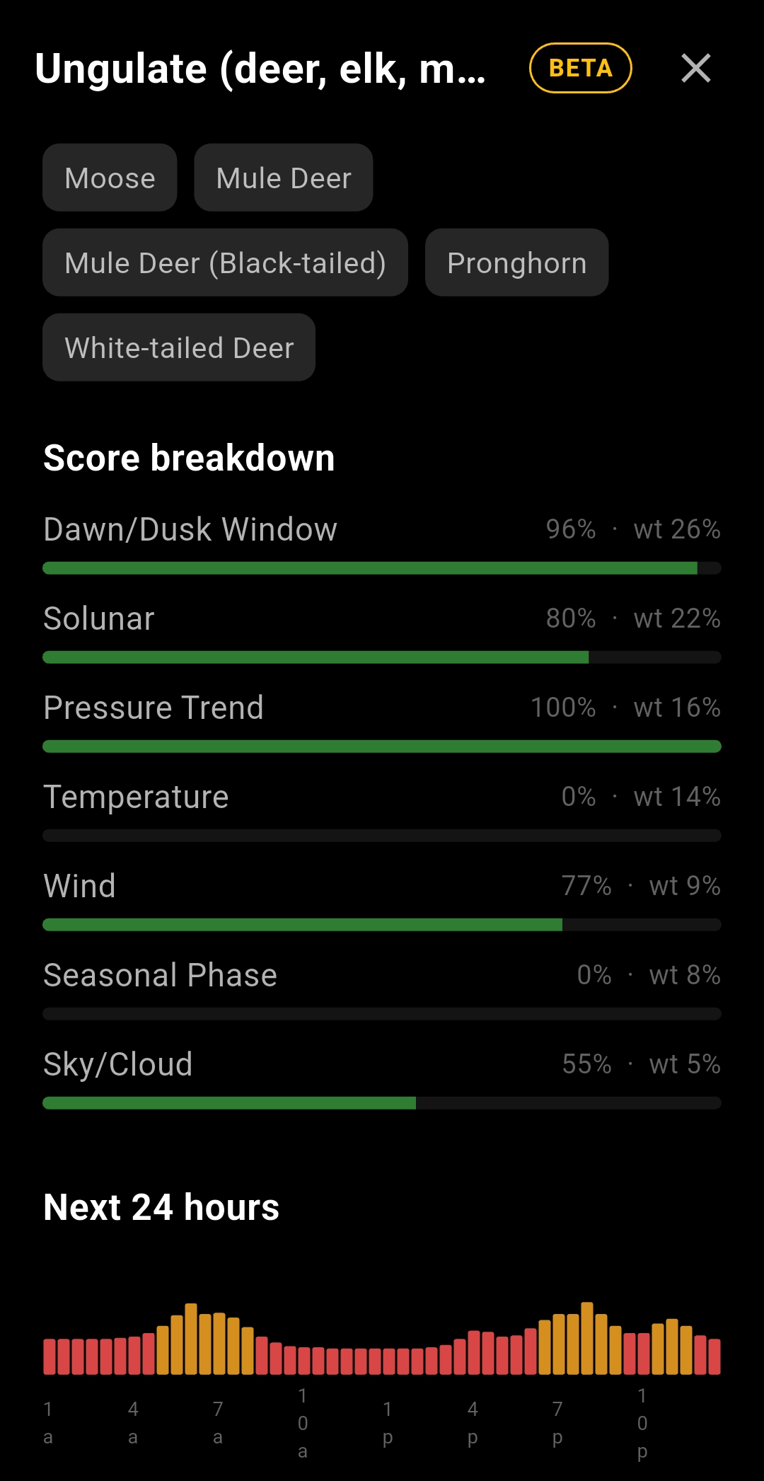
A weighted activity score for wherever you're standing — dawn/dusk window, solunar, barometric pressure trend, temperature, wind and sky all feed into one number, broken down by species and charted over the next 24 hours.
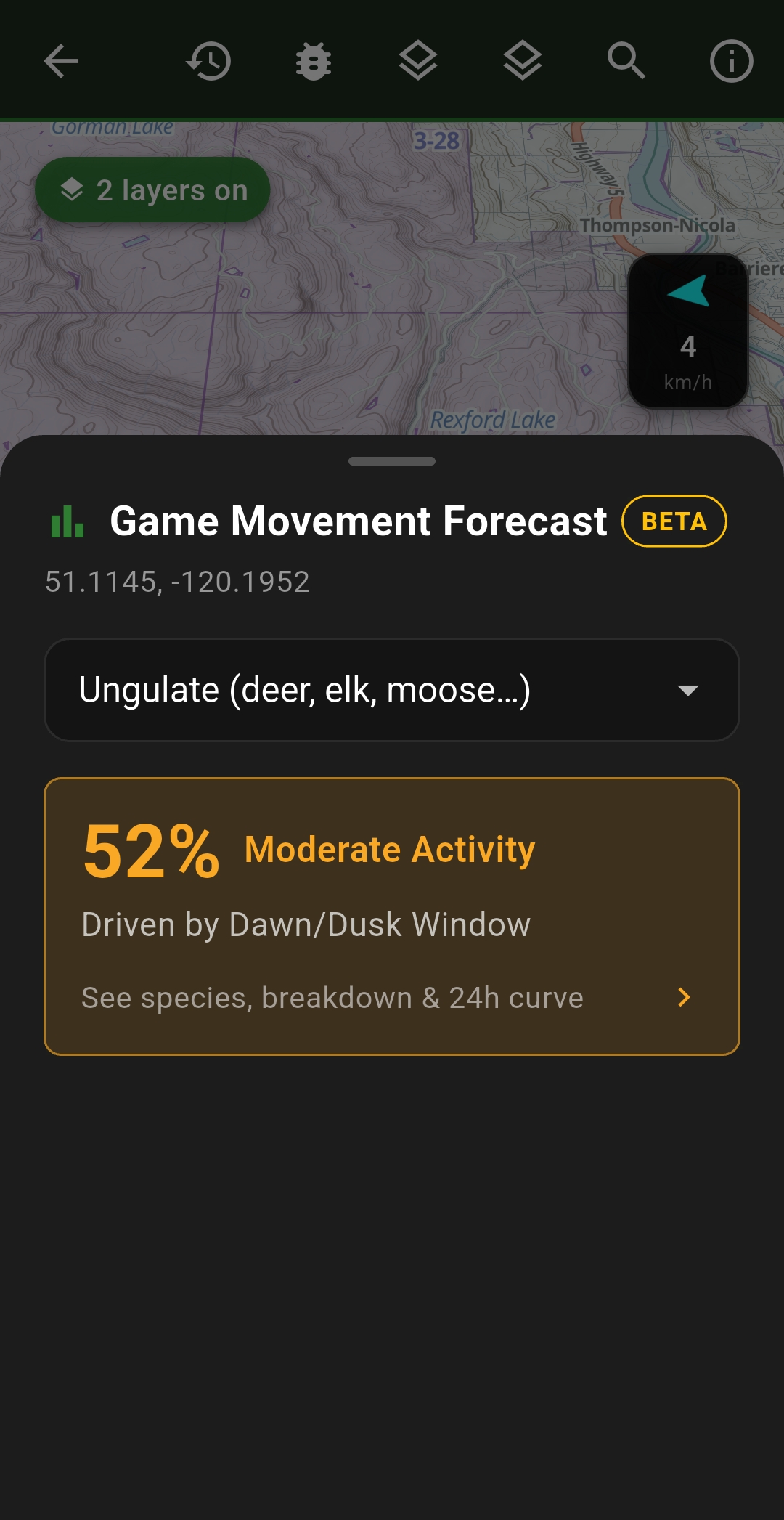
Game Movement Forecast
Pick a species — moose, mule deer, white-tailed deer, pronghorn and more — and get a live activity score for your exact map position, driven by the dawn/dusk window, solunar phase, pressure trend, temperature, wind and seasonal phase.
Fish Activity Forecast
The same idea for water — coldwater and warmwater species groups, scored from estimated water temperature, light and time of day, pressure trend, solunar phase, wind and sky, right on the lake's own detail page.
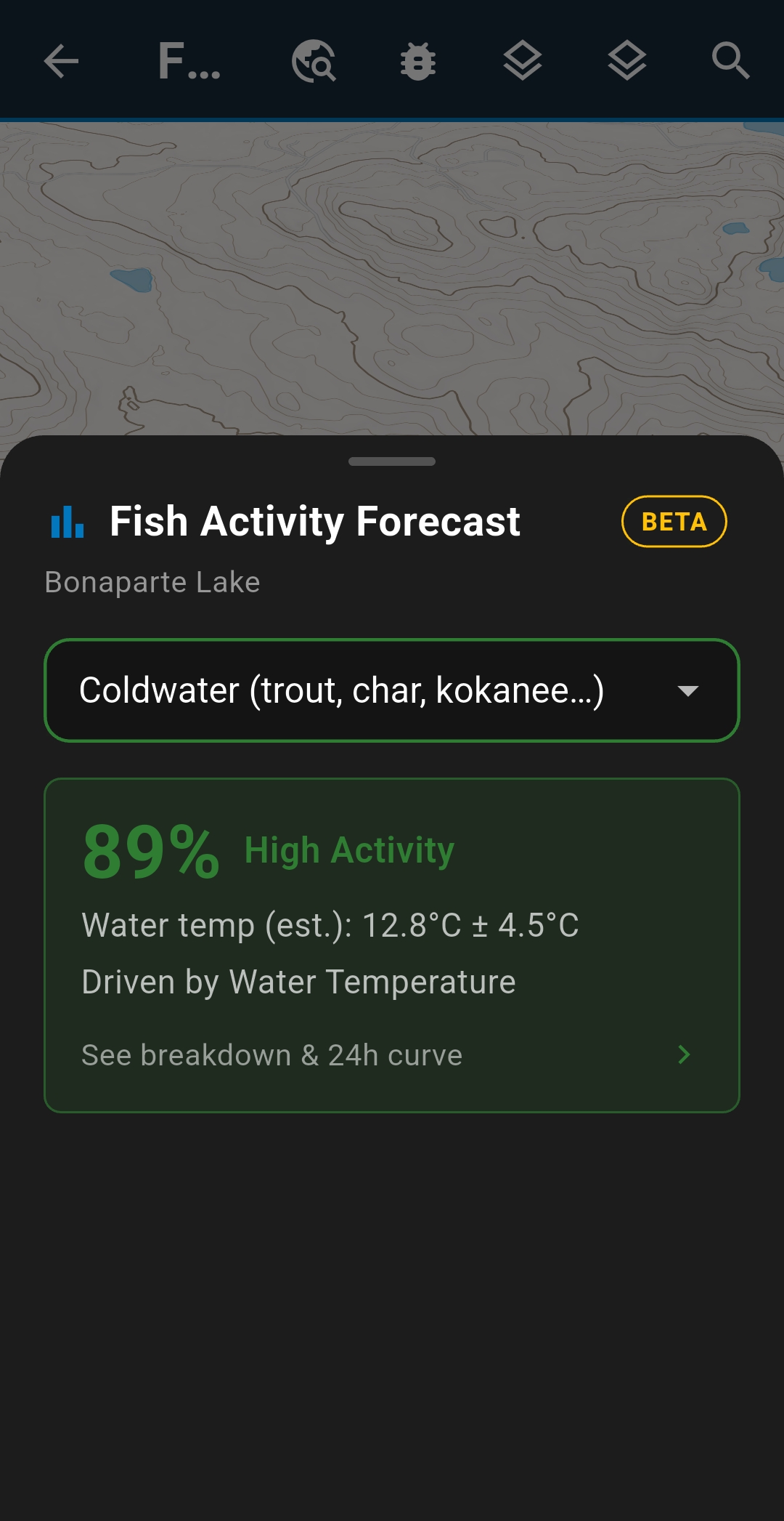
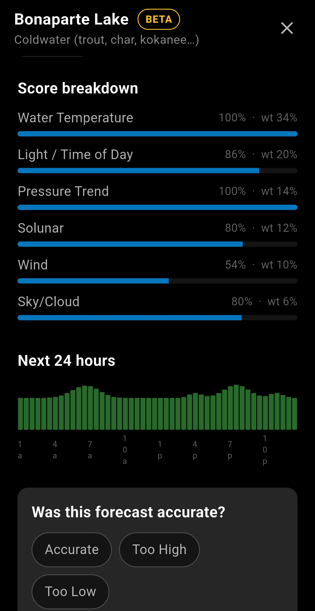
Marked Beta in the app — the scoring model is still being tuned, and you can rate each forecast's accuracy right from the card.
Beyond the map
Built in.
No extra download.
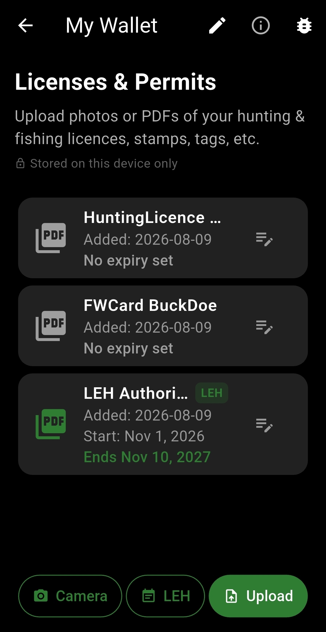
Outdoor Wallet
Log catches, trophies, and adventures with photos, notes, and GPS coordinates — your personal record of every trip.
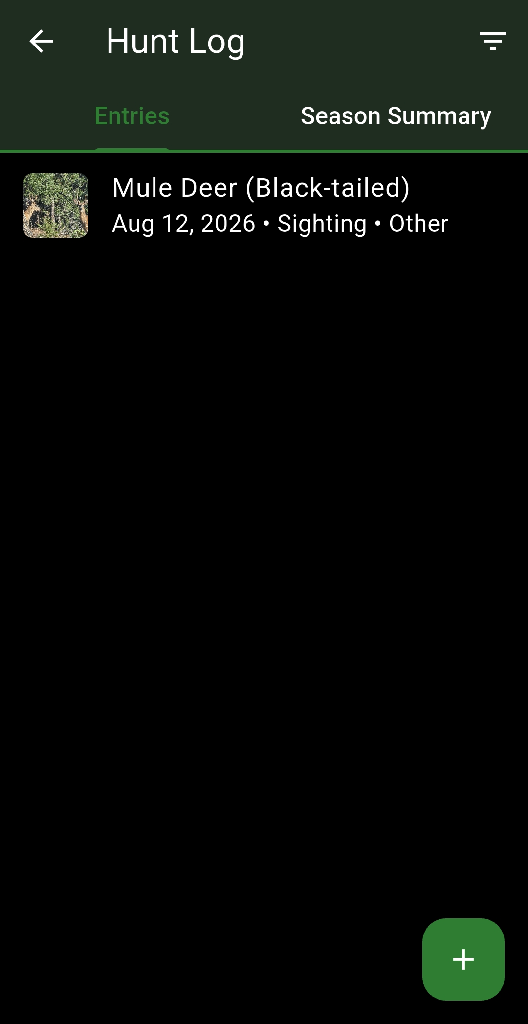
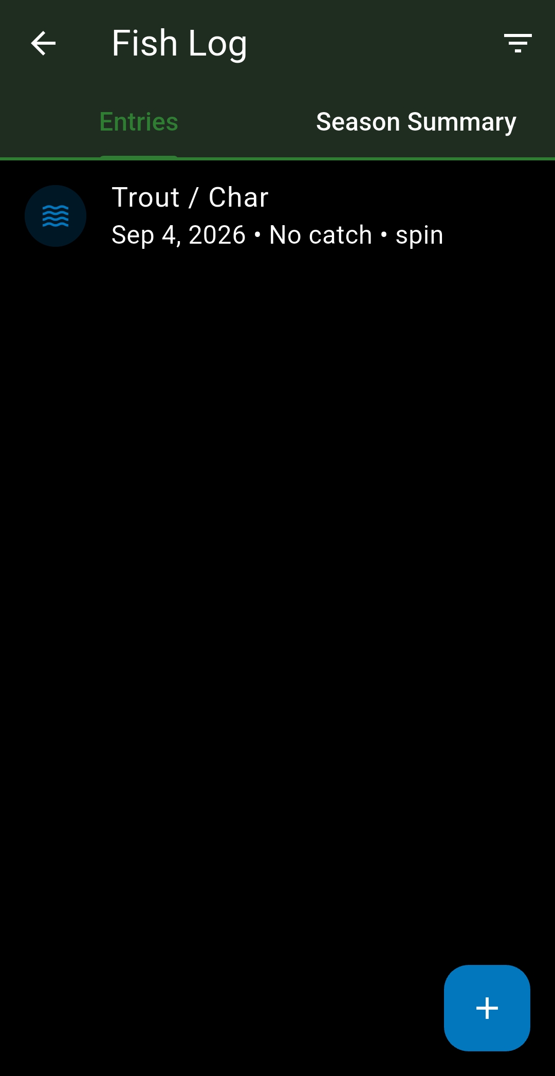
Fish Log & Hunt Log
Purpose-built entry screens for logging catches and harvests — species, method, photos and notes — with a season summary of totals and success rate.
Geofences
Draw a zone on the map and get an alert the moment your group enters or exits it — a boundary, a camp perimeter, a WMU line.
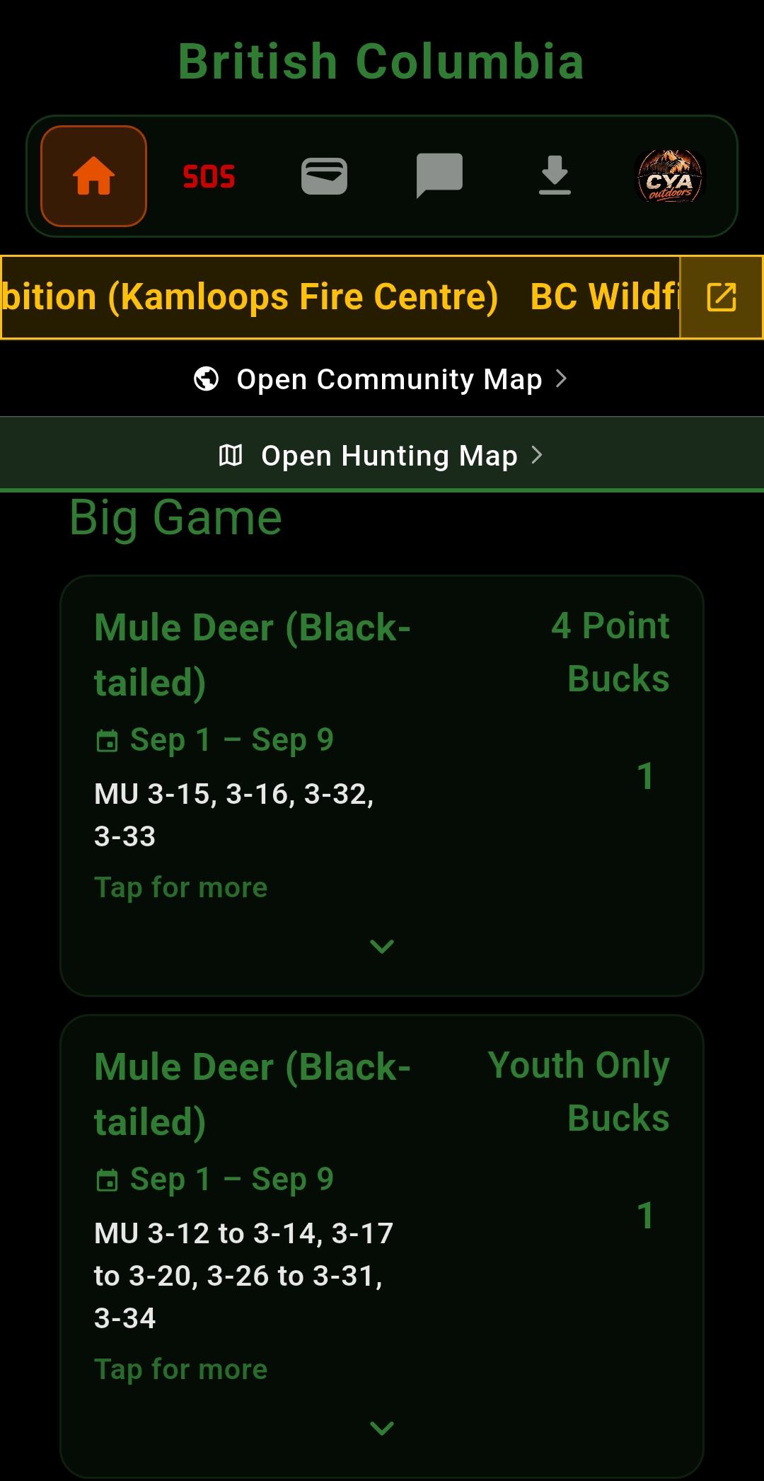
Community Map
Crowd-sourced submissions from other Cya users — new access points, hazards, and corrections — reviewed and added to the shared map.
Plan Smarter
Sunrise and sunset times, weather at any map point, and custom waypoint packs you can share with your crew.
SOS Beacon Soon
Send your GPS location to emergency contacts at regular intervals, even in the background. For deeper buddy tracking, see Cya Later.